
At A Glance
Planning your stay?
Luxury Group Stays at The Barn — check availability and book direct.
Clipston is a village of around 640 people in West Northamptonshire, four miles south-south-west of Market Harborough, recorded in the Domesday Book of 1086 and standing on ground fought over at the Battle of Naseby in 1645.
- Domesday lists Clipston as Clipestone, split between four holders: the King, the Bishop of Coutances, St Edmund’s Abbey and William Peverel.
- All Saints Church is Grade I listed and dates from the early 13th century.
- The Battle of Naseby, on 14 June 1645, was fought across the fields of Naseby, Sulby, Sibbertoft and Clipston parishes.
- Sir George Buswell endowed a free grammar school and almshouses here in 1667, teaching children from six parishes at no charge.
- The Clipston Circular Walk runs 6.65 miles and takes about two and a half hours.
On the morning of 14 June 1645, the fields at the southern edge of this parish held the largest concentration of armed men Northamptonshire had ever seen. By early afternoon the King’s army had ceased to exist as a fighting force, and the English Civil War had effectively been decided. Clipston is a quiet place now, six hundred-odd people and a church spire, but the ground it farms is some of the most consequential in English history.
It is also, for the record, in Northamptonshire. A great deal of writing about Clipston places it in Leicestershire, and the confusion is understandable: the postcode begins LE, Market Harborough is the nearest town and it is a Leicestershire town, and the county boundary runs close enough that you can walk into it. But the village is administratively Northamptonshire, in the West Northamptonshire unitary authority area, and it has been Northamptonshire since long before either county council existed.
What follows is the history that the surviving evidence supports: the Domesday entry, the church, the battle, the school, and the slow agricultural century that left the village looking much as it does today.
Where Clipston sits
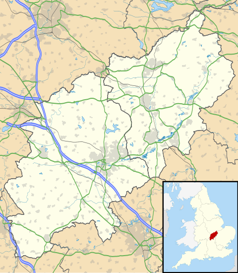
The village lies around four miles (6.4 km) south-south-west of Market Harborough, on the high ground where Northamptonshire begins to fall away towards the Welland valley. At the 2011 Census the parish had a population of 643, up from 613 a decade earlier, which gives a fair sense of the pace of change here. It is a working agricultural parish that happens to be pretty, rather than a commuter village that happens to have fields.
That position matters to the history. Clipston sits on the watershed between the Welland and the Nene, which in practice means high, open, well-drained land. Good for sheep, good for arable, and, in June 1645, good for cavalry.
Clipestone: the village in Domesday, 1086
Clipston appears in the Domesday Book of 1086, William the Conqueror’s survey of what he had taken and what it was worth. The name is written Clipestone, and the entry is more interesting than most because the village was not held by one lord. It was carved between four.
| Holder in 1086 | Who they were |
|---|---|
| The King | Land held directly by the Crown |
| Walkelin, under the Bishop of Coutances | A tenant of Geoffrey de Montbray, Bishop of Coutances, one of the largest Norman landholders in England |
| St Edmund’s Abbey | The abbey at Bury St Edmunds, holding land far from its Suffolk base |
| William Peverel | A major Norman magnate with extensive Midlands holdings |
A four-way split like this is a useful reminder that “the manor” is often a tidier idea than the reality. Clipston in 1086 was not one estate with one hall. It was a settlement whose fields, rents and labour were owed in different directions, and that fragmentation shaped how the village was farmed and governed for centuries afterwards.
Earthworks of the medieval village survive in the parish and are recognised on the National Heritage List for England as Clipston medieval settlement. The shape of the place is still legible in the ground, which is unusual and worth knowing about when you walk it.
All Saints, and eight hundred years of parish church
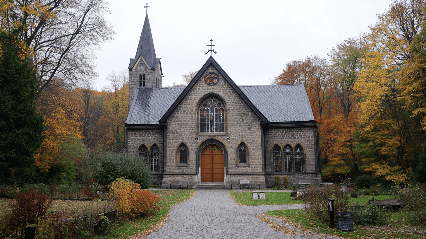
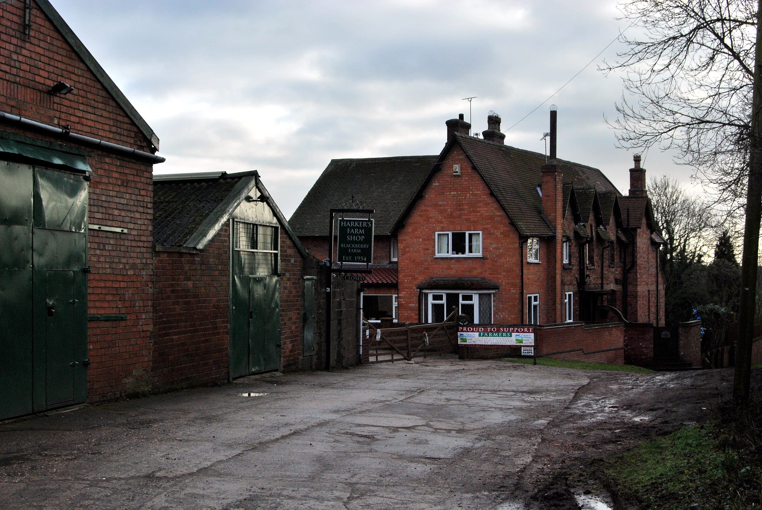
The parish church is All Saints, and it is worth being precise about that, because a fair amount of published material about the village gets the dedication wrong. All Saints is Grade I listed, which places it in the top few per cent of listed buildings in England, and it dates from the early 13th century. That makes it roughly a hundred and fifty years younger than the Domesday entry and older than almost everything else standing in the parish.
Inside there are monuments to the Buswell family, London merchants, dating from the 17th and 18th centuries. Those monuments are the thread that connects the church to the most tangible piece of Clipston’s history, which is the school. More on that shortly.
The church is not the only place of worship with a claim on the village’s story. The Baptist Chapel dates from 1803, with a frontage added by the architect Edmund Francis Law in 1864, and its presence says something about rural Northamptonshire that the parish church alone does not. Nonconformity had deep roots in these villages, and a settlement of a few hundred souls supporting both an ancient parish church and a purpose-built chapel tells you the community was neither uniform nor sleepy.
14 June 1645: the day the war came to the parish

The Battle of Naseby is the reason this parish appears in books that have nothing to do with Northamptonshire. It was fought on 14 June 1645 between the Royalist army under Charles I and Prince Rupert, and Parliament’s newly formed New Model Army under Sir Thomas Fairfax and Oliver Cromwell. It ended in the destruction of the King’s field army, the capture of his baggage train and his private correspondence, and it settled the first Civil War.
The detail that local accounts often miss is that the battle was not confined to Naseby. It was fought across the fields of four parishes: Naseby, Sulby, Sibbertoft and Clipston. The armies were not standing on a tidy field with a signpost. They were spread across several miles of open, unenclosed sheep country, and part of that ground was, and is, Clipston’s.
Two monuments mark the battle today, and the distinction between them is worth knowing before you visit.
| Monument | Erected | What it marks | Where |
|---|---|---|---|
| The Obelisk | 1823 | The site of the Naseby windmill, where the New Model Army gathered before the battle | On the Clipston road, about half a mile from Naseby village |
| The Cromwell Monument | Unveiled 28 May 1936 | The ground from which Cromwell led the cavalry charge that decided the day | Nearer Naseby village itself |
The older of the two, the 1823 obelisk, stands on the Clipston road, which is a neat illustration of how close the village is to the story. There is a fuller account of the memorial and how to find it in our guide to the Cromwell Monument near Clipston, and the Battlefields Trust maintains the authoritative record of the battlefield and its memorials.
What the battle did to Clipston itself is largely unrecorded, which is the ordinary fate of villages in wartime. Armies of that size lived off the land they crossed. Fields were trampled, livestock taken, and the fleeing and pursuit ran north through this parish towards Market Harborough, where the King had lodged the night before. The village kept farming. That is mostly what villages do.


Sir George Buswell’s school and almshouses, 1667
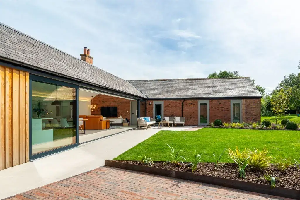
Twenty-two years after the battle, Clipston acquired the institution that shaped it more than any lord had. In his will of 1667, Sir George Buswell, Baronet, provided for the building and endowment of what he described as a “Free Grammar School and an Hospital for the maintenance of a Schoolmaster and the Relief of the Poor to have continuance for Ever”. Hospital, in the 17th-century sense, meant almshouses: housing for the elderly poor of the parish.
The remarkable part is the catchment. Buswell’s foundation did not educate Clipston’s children alone. It taught, free of charge, the children of six parishes.
- Clipston
- Kelmarsh
- Great Oxendon
- Marston Trussell
- Haselbech
- East Farndon
A free grammar school in a village of a few hundred people, drawing pupils from six parishes across a stretch of countryside with no metalled roads, is not a small thing. For the best part of three centuries it meant that a farm labourer’s son in Haselbech or Marston Trussell had a route to Latin, and to whatever Latin could buy. The endowment ran to £381 a year, a substantial sum, and Buswell’s instruction that it should have “continuance for Ever” was taken seriously enough that the village primary school still carries the name Clipston Endowed today.
The Buswell monuments in All Saints are the family’s memorial. The school is the actual legacy.
Walking the history: the Clipston circular

The best way to read this history is on foot, because almost all of it is still visible. The Clipston Circular Walk runs 6.65 miles (10.7 km) and takes around two and a half hours at an unhurried pace, over quiet roads, village paths, field edges and woodland tracks.
| What you pass | Why it matters |
|---|---|
| All Saints Church | Grade I listed, early 13th century, with the Buswell monuments inside |
| The village green | The historic centre of the settlement |
| The Baptist Chapel | Built 1803, frontage by Edmund Francis Law, 1864 |
| The war memorial | The parish’s 20th-century losses, in a village this size |
| Field edges and ridge-and-furrow ground | The medieval settlement earthworks and open-field farming survive in the land itself |
| The southern fields towards Naseby | Battle ground, 14 June 1645 |
The full route, with a downloadable map and turn-by-turn directions, is published by Northamptonshire Walks, and the parish council maintains its own footpaths page for the shorter paths around the village. Boots rather than trainers after rain: this is clay, and it behaves like it. There is more on what to see in and around the village in our guide to things to do in Clipston.
Why Clipston still looks like Clipston
Most English villages within four miles of a market town and half an hour of a motorway have been comprehensively rebuilt. Clipston has not, and that is not an accident. The village is a designated conservation area, protected as part of a programme to safeguard the architectural and historic interest of parishes across what was then Daventry District and is now West Northamptonshire. Designation constrains what can be demolished, altered and built, which is why the ironstone, the lanes and the church tower still read as one coherent place rather than a historic core with an estate bolted on.
The census numbers tell the same story from another angle. A parish that grew from 613 to 643 people across ten years is a parish that has not been developed. Our guide to the Clipston conservation area covers what the designation actually protects and what you are looking at as you walk through.
The 19th century largely passed the village by, and that is part of the explanation too. The canal and then the railway turned Market Harborough into a place with a station, a corn exchange and a reason to grow. Clipston, four miles off and on the wrong side of the hill, got neither. The engineering that reshaped this district is still worth seeing at Foxton Locks, a few miles north, but it was the town that took the benefit and the village that kept the fields. Being bypassed is an underrated form of preservation.
The 20th century took the farm labour away, as it did everywhere. Mechanisation meant fewer hands, and the working population that had filled Buswell’s school drifted to Market Harborough, Leicester and Northampton. What it left behind was a village that had stopped growing early enough to keep its shape, close enough to Market Harborough to remain useful, and far enough from anywhere to remain quiet.

A Note from Susan
“When we restored the buildings here I spent a lot of time reading about the parish, and the thing that stayed with me is the school. A man died in 1667 and left money so that the children of six villages could learn for nothing, for ever. Guests walk past that building on their way to the pub without knowing. I would rather they knew.”
More to explore
- The Cromwell Monument near Clipston, and how to find the Naseby memorials.
- The Clipston conservation area, and what it protects.
- Foxton Locks, the canal engineering that transformed this corner of the Midlands.
Frequently asked questions
Is Clipston in Leicestershire or Northamptonshire?
Northamptonshire. Clipston is a village and civil parish in the West Northamptonshire unitary authority area. The confusion is common because the postcode begins LE, and the nearest town, Market Harborough, is in Leicestershire about four miles to the north-north-east. The county boundary runs close by, but the village itself is Northamptonshire.
Is Clipston in the Domesday Book?
Yes. It appears in the 1086 survey as Clipestone. Unusually, it was divided between four holders: land held directly by the King, land held by Walkelin under the Bishop of Coutances, land held by St Edmund’s Abbey at Bury St Edmunds, and land held by William Peverel.
What is Clipston’s parish church called?
All Saints. It is a Grade I listed building dating from the early 13th century, and it contains 17th and 18th century monuments to the Buswell family, London merchants who endowed the village’s free grammar school and almshouses. Some published sources give the dedication incorrectly as St Mary’s.
Was the Battle of Naseby fought in Clipston?
Partly, yes. The battle of 14 June 1645 was fought across the fields of four parishes: Naseby, Sulby, Sibbertoft and Clipston. It was a decisive victory for Parliament’s New Model Army under Fairfax and Cromwell over the Royalist army of Charles I, and it effectively ended the first English Civil War. The 1823 obelisk marking the New Model Army’s rendezvous point stands on the Clipston road.
Who was Sir George Buswell?
A baronet whose 1667 will endowed a free grammar school and a hospital, meaning almshouses, at Clipston. His foundation educated children from six parishes free of charge: Clipston, Kelmarsh, Great Oxendon, Marston Trussell, Haselbech and East Farndon. He directed that it should “have continuance for Ever”, and the village primary school still carries the Endowed name.
How big is Clipston?
The parish had a population of 643 at the 2011 Census, up from 613 at the 2001 Census. It is a designated conservation area, which restricts new development and is a large part of why the village has kept its historic character.
Is there a walk around Clipston?
Yes. The Clipston Circular Walk covers 6.65 miles (10.7 km) and takes roughly two and a half hours, on quiet roads, village paths, field edges and woodland tracks, passing All Saints Church, the village green, the 1803 Baptist Chapel and the war memorial. The parish council also publishes a footpaths page covering shorter routes around the village.
The stay in the story
Sleep in the parish you have just read about
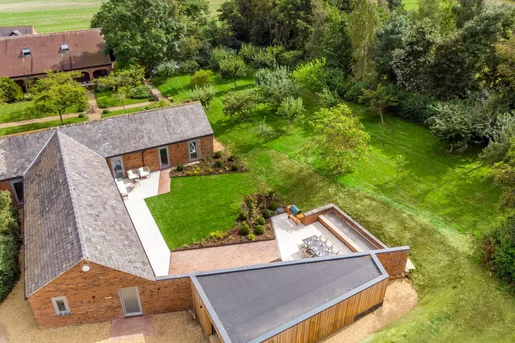
The 14 Acres estate sits inside this village, a few fields from the ground the New Model Army crossed in 1645 and a short walk from the church Sir George Buswell is remembered in. The Barn, The Loft and The Cottage are restored buildings on that land, available singly or together.
Stay in Clipston